Thursday Mar 28, 2024
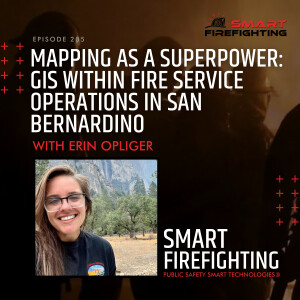
Episode 205: Mapping as a Superpower: GIS within Fire Service Operations in San Bernardino with Erin Opliger
How can fire departments leverage software tools that enhance situational awareness and embrace data-driven decision making?
Hello Smart Firefighting Community!
Welcome to another episode of covering real world innovations via interviews with fire service and technology industry experts that empower YOU to develop your very own Smart Firefighting strategy!
In this episode:
- How San Bernardino's fire department uses GIS for situational awareness and public safety
- The value of Intterra in firefighting operations for better decision-making
- How San Bernardino is navigating geographical diversity and community risk reduction through GIS
Find out from Erin Opliger - the Special Projects Leader for the San Bernardino County Fire Department.
Erin discusses using Geographic Information Systems (GIS) in San Bernardino's operations, including situational awareness, performance tracking, and public engagement. She highlights the collaboration with other entities and utilizing software tools like Intterra for data visualization and analysis, emphasizing how software tools improve fire department efficiency and effectiveness.
She also discusses the challenges San Bernardino faces, such as the diverse geographical area and the need for community risk reduction. In sum, this conversation highlights the need for culture change and the adoption of technology in the fire service.
So click play now to find out what she has to share!
Head to www.smartfirefighting.com to discover how SFF accelerates innovation for emergency responders, to find out when our next event is, or review our curated resources!
Facebook | Instagram | Twitter | LinkedIn
Comments (0)
To leave or reply to comments, please download free Podbean or
No Comments
To leave or reply to comments,
please download free Podbean App.